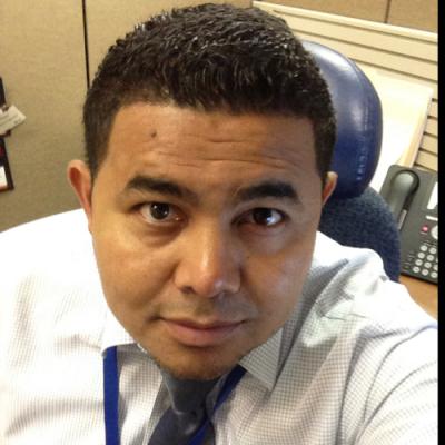
Name: Roberto E. Ramirez
Year of graduation: 2000
Major: Environmental Science and Policy – Land Use
Current employment status:
- Employer: Federal Emergency Management Agency
- Position: Natural Hazards Program Specialist for the National Flood Insurance Program (NFIP)
Did you/do you currently go to graduate school? If so:
- School: University of North Texas
- Program: Applied Geography
- Degree: GIS Certificate
Why did you want to be a GEOG/GIS/ENSP major?
Growing up, I was always aware of the need to preserve our resources and our interactions with the planet. During my first couple of years at the University, I was an Electrical Engineering student and was not happy with it. My friend Dr. Ron Luna asked me to take some geography classes and look into the GIS technology at time. I really enjoyed my first geography class and switched into ENSP with a concentration in Land Use. This gave me the opportunity to explore and research the interactions between humans and their surroundings, how we use the land, how we change it, etc. GIS technology allowed me to analyze the data and visualize it. It was the perfect match for me and a very useful skill in my current position at FEMA.
What internships or independent research did you do as a GEOG/GIS/ENSP major?
Unfortunately, I did not do any internship related to my degree, but I would definitely recommend that students begin conversations about potential opportunities with their advisors, attend a job fair and start lining up future opportunities as soon as possible. This is something I would change if I was in college again. Various companies in the Metropolitan area look for students to come in for internships, and in most cases these can become permanent jobs after graduation. I used GIS technology to do research on the election data from the state of Florida in 2000. I analyzed the breakdown of voters per county and correlated the votes to various demographic groups and/or types.
What recommendations would you make to current GEOG/GIS/ENSP majors for career and academic success while they are still undergraduates?
Again, I will emphasize to have a good communication with your advisor, discuss opportunities for independent studies, if possible, potential for mentoring/internships in the area, investigate the potential for employment opportunities based on your major/course, and try to identify the best career path that will make you happy. I think it is very important to stay on top of technology, GIS is very dynamic and evolving field and we have to continue to learn and evolve with the times. Finally for the students going to interviews, talk about your experience and sell your skills, do some research about the company you are interviewing with and your job description prior to the interview.
What recommendations would you make to current GEOG/GIS/ENSP majors for career and academic success after graduation?
Continue to polish your trade/skills. It is very important to stay on top of the fast changing geospatial technology, but more importantly start developing working relationships with your peers. I also recommend getting a Master’s degree right after you complete your undergraduate studies. In my opinion, it is harder to complete a post-graduate degree if you also have to worry about a full time job. Most companies these days require more than just a Bachelor’s degree, so it is very important to look into the Master's programs. Some companies might even offer tuition re-imbursement or some sort of incentive to get your degree.
Thank you, Roberto!


