Principal Lecturer Jonathan Resop in the MS GIS program leads a study that advances stream monitoring with drone technology.
Resop collaborated with researchers from the StREAM Lab at Virginia Tech to publish a manuscript titled "Channel Morphology Change after Restoration: Drone Laser Scanning versus Traditional Surveying Techniques" in the journal Hydrology.
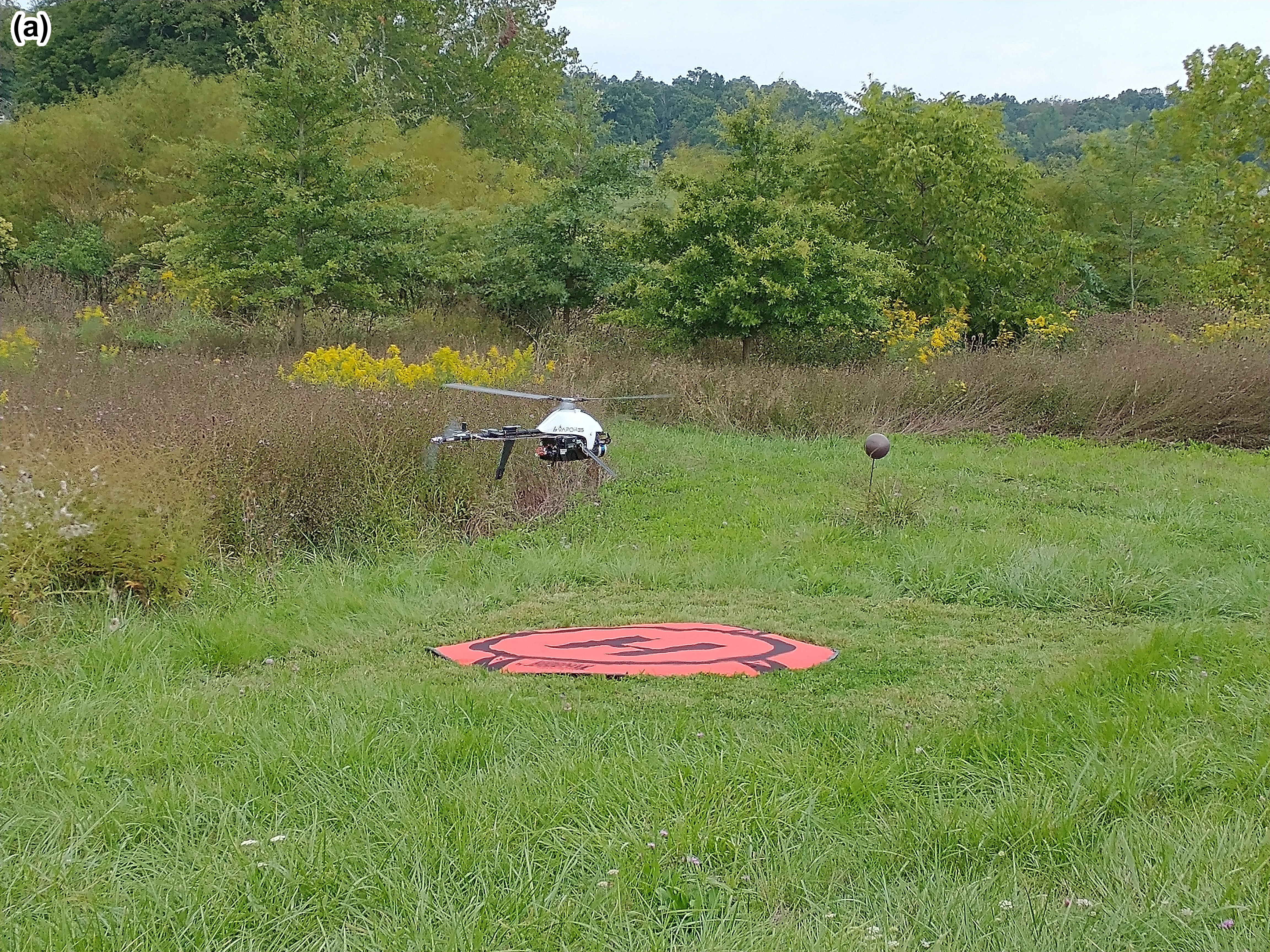
The paper investigates the efficacy of drone-based lidar, specifically drone laser scanning, in surveying channel morphology to monitor post-restoration changes in streams. The focus of the study was Stroubles Creek, situated in Blacksburg, Virginia, which underwent restoration in 2010. Restoration efforts included practices such as livestock exclusion, bank treatment, woody vegetation planting, and creation of an inset floodplain.
The primary objectives of the study were to compare channel morphology metrics (e.g., channel width, depth, etc.) obtained through drone laser scanning with those derived from traditional total station surveying. The findings indicated substantial agreement between the metrics obtained from both methods. Furthermore, the study examined the changes in morphology between 2017 and 2021 using drone lidar across three distinct restoration treatment reaches within the study area.
The research revealed that the treatment reach undergoing the most extensive restoration efforts (involving livestock exclusion, bank treatment, and inset floodplain creation) exhibited the greatest stability over the observed time frame. This study's insights offer valuable tools for stream restoration practitioners, enhancing their ability to monitor restoration efforts and measure channel changes with high precision.
Abstract
Accurate and precise measures of channel morphology are important when monitoring a stream post-restoration to determine changes in stability, water quality, and aquatic habitat availability. Practitioners often rely on traditional surveying methods such as a total station for measuring channel metrics (e.g., cross-sectional area, width, depth, and slope). However, these methods have limitations in terms of coarse sampling densities and time-intensive field efforts. Drone-based lidar or drone laser scanning (DLS) provides much higher resolution point clouds and has the potential to improve post-restoration monitoring efforts. For this study, a 1.3-km reach of Stroubles Creek (Blacksburg, VA, USA), which underwent a restoration in 2010, was surveyed twice with a total station (2010 and 2021) and twice with DLS (2017 and 2021). The initial restoration was divided into three treatment reaches: T1 (livestock exclusion), T2 (livestock exclusion and bank treatment), and T3 (livestock exclusion, bank treatment, and inset floodplain). Cross-sectional channel morphology metrics were extracted from the 2021 DLS scan and compared to metrics calculated from the 2021 total station survey. DLS produced 6.5 times the number of cross sections over the study reach and 8.8 times the number of points per cross section compared to the total station. There was good agreement between the metrics derived from both surveying methods, such as channel width (R2 = 0.672) and cross-sectional area (R2 = 0.597). As a proof of concept to demonstrate the advantage of DLS over traditional surveying, 0.1 m digital terrain models (DTMs) were generated from the DLS data. Based on the drone lidar data, from 2017 to 2021, treatment reach T3 showed the most stability, in terms of the least change and variability in cross-sectional metrics as well as the least erosion area and volume per length of reach.
Resop, J. P., C. Hendrix, T. Wynn-Thompson, and W. C. Hession. April 2024. "Channel Morphology Change after Restoration: Drone Laser Scanning versus Traditional Surveying Techniques." Hydrology. 11(4): 54. https://doi.org/10.3390/hydrology11040054


