As part of the USAID CARPE program and with the support of the World Bank, the Global Land Analysis and Discovery laboratory (GLAD lab) at GEOG is hosting a training workshop that seeks to leave a lasting impact on conservation practices in the Democratic Republic of Congo (DRC) and the Republic of Congo (ROC).
From Nov. 28 to Dec. 18, this comprehensive program is designed to equip with cutting-edge tools and methodologies key players of forest monitoring such as the Direction des Inventaires et Aménagement Forestiers (DIAF) — DRC’s national agency of the Ministry of the Environment — and the Centre National d’Inventaire et d’Aménagement des Ressources Forestières et Faunique (CNIAF) — ROC’s national agency of the Ministry of the Forest Economy.
The GLAD lab has previously collaborated with the DRC and ROC governments to support their forest monitoring efforts. GLAD lab members Professor Matthew Hansen, Research Professor Peter Potapov, and faculty specialists André Mazinga, Eddy Bongwele, Heritier Koy, Patrick Lola Amani and Tatiana Nana are leading the training workshop.
The workshop is focusing on technology transfer of data, tools and algorithms developed by the GLAD lab to enable both countries implement and update their forest monitoring efforts for programs like Reducing Emissions from Deforestation and Forest Degradation in Developing Countries ( REDD+).
The specific objectives of this workshop are:
- Mapping the land cover land use including water surface, non-forest land, dense humid forest, wetland forest, and other tree cover for provinces of Sangha Likoula, Republic of Congo; and Mai-Ndombe province, DRC.
- Designing the sampling for both regions, including selection of strata and sample size allocation, to minimize uncertainties in the activity data estimates for the target classes.
- Collecting the reference data for the selected sampling units for the period 2021-2022 by implementing very robust quality assurance/quality control procedures to ensure the quality of the reference data.
- Estimating deforestation and forest degradation activity and associated uncertainties, based on the reference sample data for the monitoring period 2021-2022 for both Mai-Ndombe (DRC) and Sangha-Likouala (ROC).
.png)
The mapping and area estimation methods are applied using GLAD Landsat time series data and GLAD tools / algorithms. The result of this work will be combined with emissions factors to estimate carbon emissions and removals from deforestation and forest degradation. These emissions from the performance period can then be compared with historic emissions to receive results-based payments or carbon credits.
"UMD has been working with countries in Central Africa and building capacity in advanced forest monitoring and mapping land cover land use,” said Bongwele , one of the workshop leaders.”This effort has helped countries to produce activity data nationwide and at provincial scale.”
Learn more about GLAD projects and programs by visiting glad.umd.edu and following @UMD_GLAD on Twitter/X.
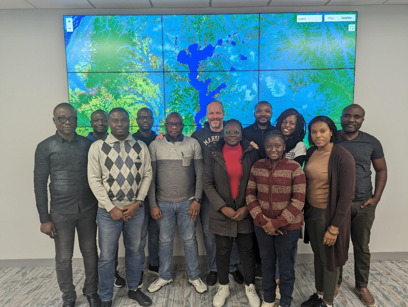
Main photo, from left to right: 1: GLAD, DIAF and CNIAF teams, including Franck Mukedi, Marco Muya, Daglish Kombo, André Mazinga, Eric Manzila, Matthew Hansen, Ersilia Ida Batsa, Heritier Koy, Tyriel Lokoka, Lisa Louvouandou, Tatiana Nana and Eddy Bongwele.
All photos courtesy of Eddy Bongwele.