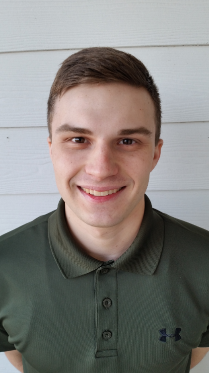
1) What major(s), minors, and/or certificates you are working on at UMD?
In my time at the University of Maryland, I've been working on a major in Geographic Information Science and Computer Cartography in addition to a minor in the Remote Sensing of Environmental Change.
2) What are your interests within your program(s)?
The advantageous aspect of my programs within the Department of Geographical Sciences is that I've been able to study important issues that society is eager to address such as sustainability, forest cover change and climate change. One of the benefits of being a GIS major is that I'm also learning how to look at data spatially and analyze how it may affect other issues that may not even be directly related.
3) What previous jobs, internships, and volunteer experience have you had?
I've spent most of my time at the University employed to some extent, I started as a Community Assistant and have since gone on to hold two internships related to my field of study. In my second semester as a GIS major I had the amazing opportunity to work within the University of Maryland Department of Facilities Management as a GIS Intern in the Spring 2015 semester where I was able to learn more about working with spatially related data, working in teams, managing geodatabases, and the importance of report generation. I left my internship with the Department of Facilities Management after one semester, gaining important experience and honing my GIS skills Fortunately, I was able to find another opportunity the following summer that could accommodate my class schedule for the Fall 2015 semester.
4) Where you are from?
I was born and raised 40 minutes away from the University in Highland, Maryland.
Internship:
1) Where you are interning?
In the summer of 2015 I began working for a small organization within the University called MATOC (Metropolitan Area Transportation Operations Coordination) and my internship will end after the Spring 2016 semester when I graduate. MATOC partners with the CATT (Center for Advanced Transportation Technology) Lab on campus by using their software product RITIS (Regional Integrated Transportation Information System). Most of MATOC's operation revolves around monitoring real-time traffic incidents in the National Capital Region and assuring that VDOT, MDSHA and DDOT are all communicating to alleviate issues on roadways surrounding the region in a timely manner.
2) What are your internship responsibilities?
As a student GIS intern with MATOC, I work on another aspect of our organization's reach in which I monitor upcoming special events in the National Capital Region that may attract large amounts of people. I use open source data from social media and various other sources online to identify where these special events will be occurring, for how long, and what roadways might be affected by it.
3) What project(s) are you working on or contributing to?
My main contribution is inputting the special events data I find online into a Google Calendar where we format the titles and relevant information in an easy-to-read manner. At the end of each week, we push out a 10 day report with every event on our calendar for the situational awareness of each of our clients that receive the report. Our current goal is to acquire ESRI software so that we can visualize the special events through the usage of a geodatabase. If we do get accomplish this goal, we could also create automated reports so that we wouldn't have to manually create a 10 day report at the end of each week, saving several hours of work.
4) How is the internship experience relevant to your studies in Geographical Sciences?
This internship experience is hugely relevant to my interests in dealing with spatially related data, but I'm also able to experience a unique way of acquiring data by getting it from social media and other open source websites. I've been able to see how hugely important one event can have on the roadways in the area, especially during the holidays.
5) What are your career goals after your graduate?
After I graduate, I'm not certain exactly what job or type of work I would like to do, but it would be great to find a way in which I could apply the skills I have acquired in GIS and Remote Sensing to work with environmental change. I would ideally find a way in which I can help our society better understand and cope with our affect on the world's natural systems so that we can change our ways for a more sustainable future.
Congratulations Ryan!!


