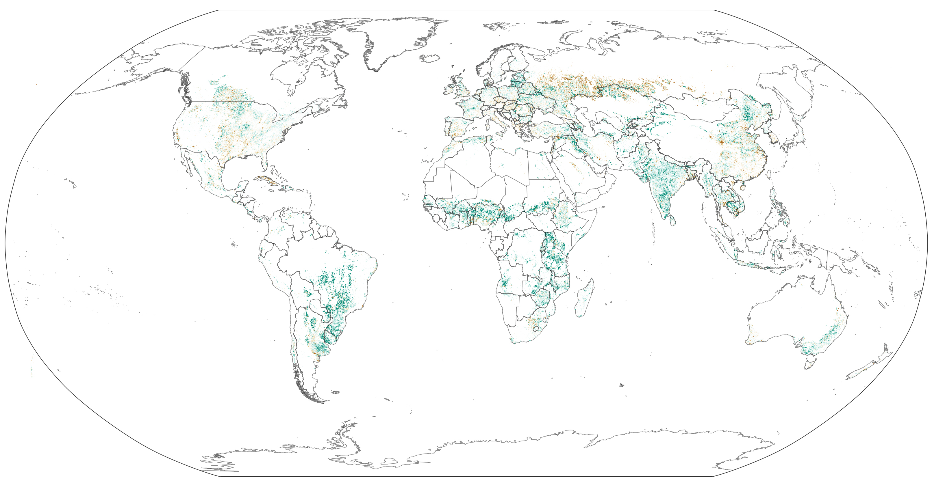
GEOG Research Professor Peter Potapov's recent research on global cropland expansion was featured in NASA Earth Observatory's Image of the Day.
“People have used satellites to map cropland extent before. What distinguishes this effort is that we are showing change over a long period of time,” said Peter Potapov, the co-director of GLAD and the lead author of the study. “We also do it in a way that is consistent across international borders so we can compare what is happening in different regions or countries in a meaningful way.” Most previous attempts to map and compare farmland relied on the compilation of local or regional data via methods and definitions that varied significantly.
Read the full article here.