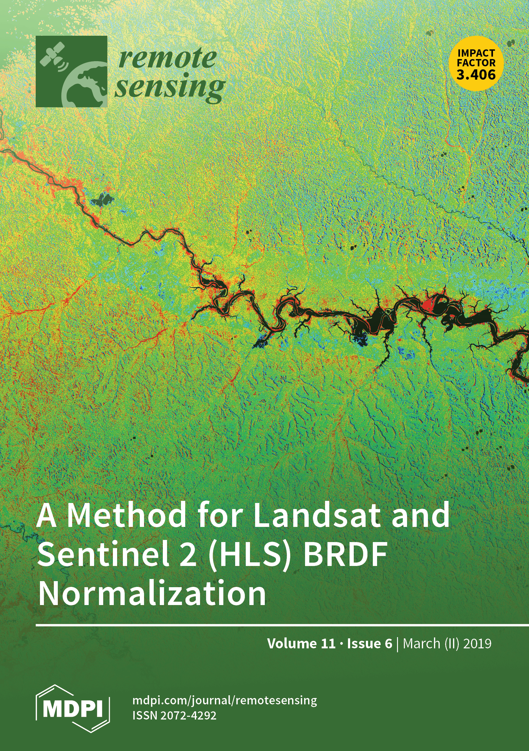
The manuscript "A Method for Landsat and Sentinel 2 (HLS) BRDF Normalization" authored by GEOG researchers, B. Franch, S. Skakun, J.-C. Roger, J.L. Villaescusa-Nadal and A. Santamaria-Artigas, and NASA Goddard Space Flight Center, E. Vermote, Adjunct Professor, J. Masek, Adjunct Associate Professor, and J. Ju, has been selected by the editors of the Remote Sensing MDPI journal as the March issue cover.
The Harmonized Landsat/Sentinel-2 (HLS) project generates a seamless surface reflectance product by combining observations from Landsat-8 and Sentinel-2. These satellites’ sampling characteristics can generate a difference in observation geometry of up to 20°. Additionally, variations in the seasonal illumination also impact the surface reflectance. These angular effects are especially stronger in the tropics, where the scan direction of Landsat and Sentinel-2 is closely aligned with the solar principal plane. This HLS image of the Brazillian Amazon forest shows the impact of these effects in the near infrared directional surface reflectance, showing higher values on the western side where the view angle is larger. This work presents a model to derive the bidirectional reflectance distribution function (BRDF) normalization of the HLS product. https://www.mdpi.com/2072-4292/11/6/632


