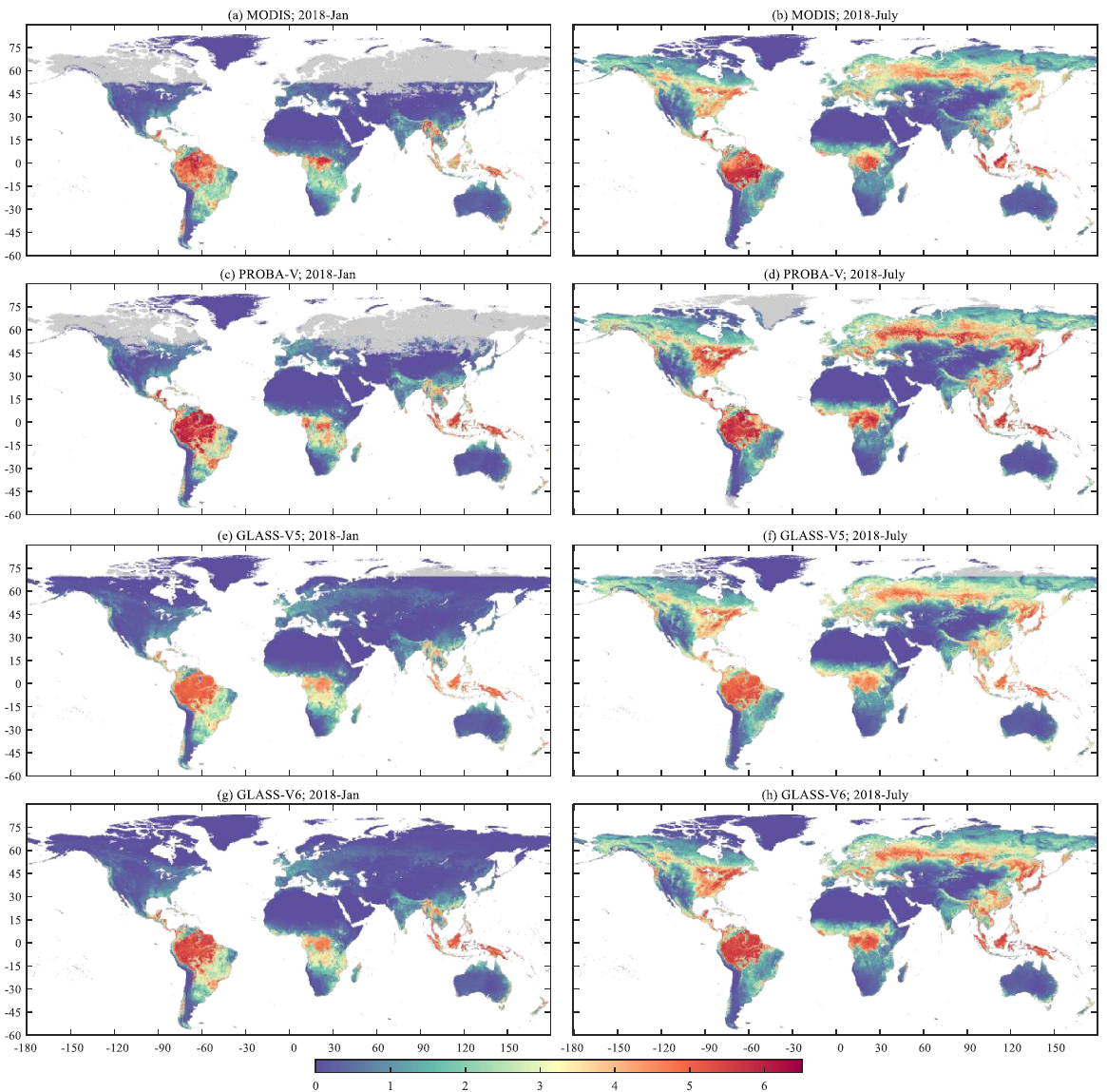
Professor Shunlin Liang and former GEOG visiting scholar Han Ma developed a deep learning model to generate a new version of the Leaf Area Index (LAI) product (V6) at 250-m resolution. The product, which uses Moderate Resolution Imaging Spectroradiometer (MODIS) data from 2000 onward, is the first global time-series LAI product at the 250-m resolution and is freely available to the public.
LAI, a measure of the amount of leaf material in a canopy, is a key climate variable that is used in a wide variety of scientific applications, such as ecosystem and climate models. The current version (v5) of the widely used Global Land Surface Satellite (GLASS) LAI product has several limitations, such as frequent temporal fluctuation, large data gaps, high dependence on the quality of surface reflectance, and low computational efficiency. The new version developed by Dr. Liang and Dr. Ma addresses these issues and increases the product’s spatial resolution.
For more information, read the paper published in Remote Sensing of Environment.
The product is freely available here.


