Evaluating Map Accuracy for Water Dynamics Map 1999-2015
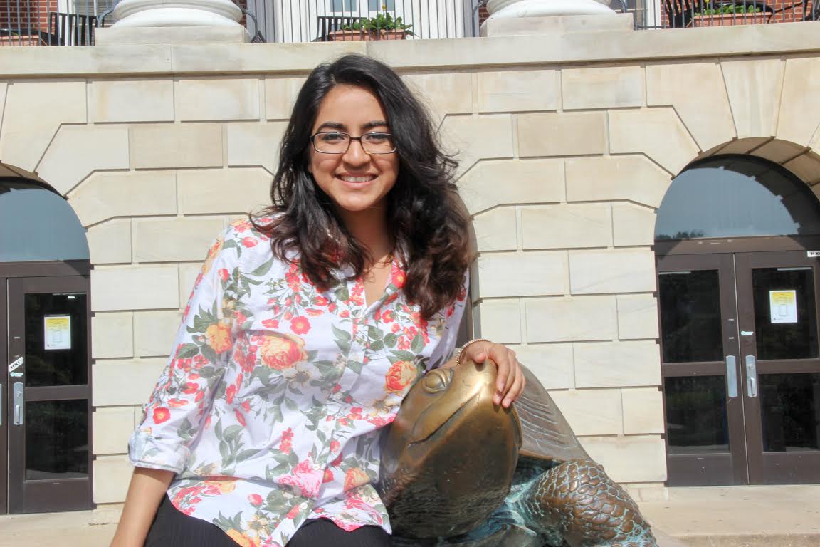
Zainab Sherani is a Computer Science major and GIS minor. As part of the Summer Research Initiative (SRI), she validated Amy Pickens’s Water Dynamics map using visual interpretation and assessed its accuracy. This map showed water movement in one of four three-month time periods from 1999-2015. Each pixel was assigned a variation of the colors Red, Green, and Blue, based on the trend it exhibited. She then compared trends assigned through visual interpretation with those from the algorithm in the map to compute an overall map accuracy.
Zainab enjoyed her experience in SRI because of her exposure to cartography as well as the memories she made with her cohort. She highly recommends the program to students considering grad school and to those interested in real-world applications of GIS. Her mentors were UMD GEOG Professor Dr. Matthew Hansen and GLAD Scientist Amy Hudson Pickens.


