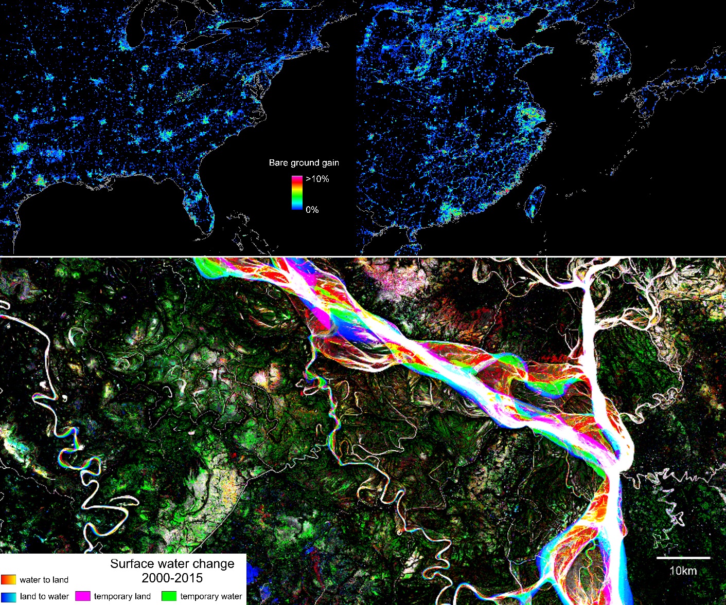
The GLAD lab was recently awarded membership to the Landsat Science Team for their proposal titled, “Generating time-series maps that accurately reflect land change area: A strategy for global land monitoring”. This award will support work on developing an integrated method to monitor cover extent and change using a combination of products depicting cover extent, loss and gain. The method will be applied to our Vegetation Continuous Field themes of percent tree cover and bare ground (Hansen et al. 2003) as well as inland surface water. The goal is to create annual layers of percent tree canopy cover, percent bare ground cover and surface water that are congruent with area estimates of loss and gain.


