It’s been a year since NASA kicked off an effort to provide farmers with useful information garnered from satellite images of Earth. The program includes research at two universities in the Midwest.
NASA Acres aims to address some of the most pressing problems facing food production — getting important data points from satellite images of Earth.
But connecting those dots will take a lot of work.
“We want to hear what producers need,” said Tom Wagner, associate director of NASA Earth Action. “We want to build the tools to address their challenges.”
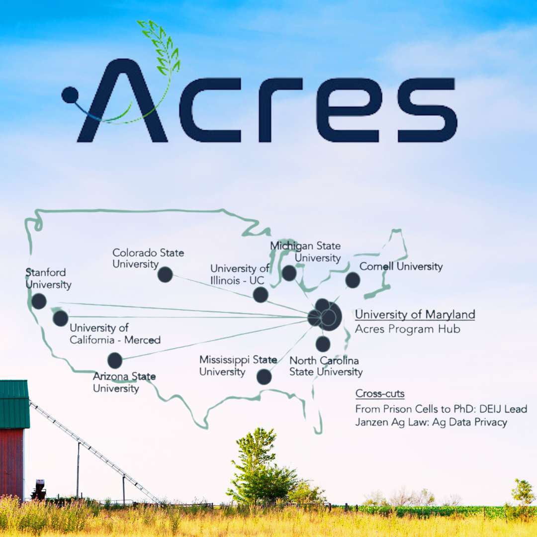
Wagner spoke at an event at the University of Illinois, marking NASA Acres' one-year anniversary. The university is one of 10 involved in the consortium’s 14 research projects, which will convert the data NASA gathers into information that farmers can use.
...
Satellite to Farm
A key to the project’s success will be bridging the gap between the scientists who gather the information and the agronomists who will use it, according to Alyssa Whitcraft, executive director of NASA Acres.
“Remote sensing scientists often don’t understand the problem,” said Whitcraft, who is also a research professor at the University of Maryland, the lead institution in the NASA Acres effort.
She grew up in a family of winemakers and said a scientist unfamiliar with growing grapes might focus on data aimed at the wrong thing. For instance, trying to increase soil moisture for a bigger yield.
“If you put too much water and you maximize yield, you're gonna have bad wine,” she said. “And so it's sort of like engineering the solution to a problem that nobody asked for.”
Image: NASA Acres locations map


