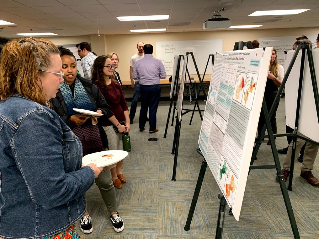
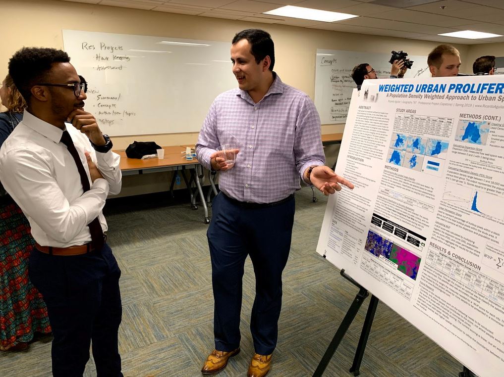
The Department of Geographical Science's Master's programs in Geospatial Information Sciences (GIS) and Geospatial Intelligence (GEOINT) held a combined poster symposium on Tuesday, May 14th in the LeFrak Hall seminar room. The symposium served as the final presentation for the Capstone class, which is the final class that Master's students complete before graduating. For their Capstone project, Master's students choose either a research-based or a design-based project, which showcases what they have learned over their many classes in spatial modeling, remote sensing, programming, web app design, geointelligence, etc. We would like to congratulate all of our Master's students for their hard work in completing their degrees!
Example Project Topics for Spring 2019:
"Weighted Urban Proliferation: A Population Density Weighted Approach to Urban Sprawl"
"Combined Uncertainty and Bathymetry Estimator (CUBE) for Topographic-Bathymetric Lidar"
"Determining Surface Dispersion and Effective Eddy Diffusion in Ocean Circulation Models"
"Household, Population, and Employment Forecast Interpolation Tool for Prince William County"
"Vulnerability Mapping Alaska Native Areas: Comparing Weighted Raster-Based Vulnerability Index Using Analytic Hierarchy Process (AHP) Method with Land Use Land Cover Change Across Alaska"


