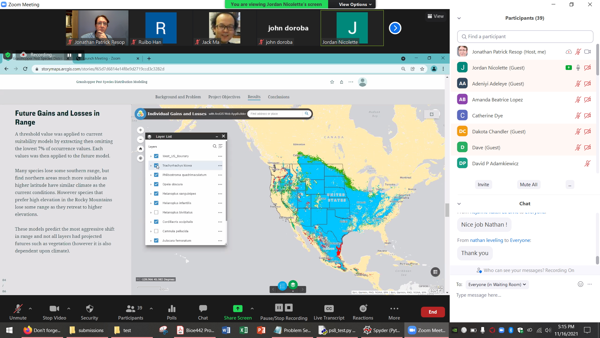
On November 16 and 18, 2021 the MS GIS (https://geospatial.umd.edu/education/master-science-geospatial-information-sciences) and MS GeoInt (https://geospatial.umd.edu/education/master-science-geospatial-intelligence) programs held their Fall 2021 Capstone Symposium. The capstone class is the final class that graduate students in the MS GIS and MS GeoInt programs take before earning their degree. The purpose of the capstone is for the students to demonstrate their skills and knowledge in an independent research or design project. This fall, 26 students spanning a range of backgrounds and disciplines presented their final capstone project. Each student had 5 minutes to present their project topic and showcase their results and web designs. Their projects included applications in GIS, spatial analysis and modeling, remote sensing, web app development, and geointelligence. If you missed the symposium, the online recording and presentations are posted below.
Zoom Recording of the Fall 2021 Capstone Lightning Talk Symposium, Order of Presentations, Project Titles
11/16 - Fall 2021 Capstone - GIS Research Projects
https://umd.zoom.us/rec/share/7rw78SDjFfnY5j5pmGljW17beywZiD_ogG7aUAlJ9uadCUXS04K1sfB8FCjZEene.mfkdAEdW2ST4D_pI
1. Nathan Leveling - "NOAA OCS Electronic Navigational Charts Rescheme: Tampa Bay Case Study"
2. Jordan Nicolette - "Mapping the Influence of Climate Change on 12 of the Most Economically Damaging Grasshopper Species"
3. Melisa Hansen - "Using GIS to Analyze Equity and Accessibility in Loudoun County, Virginia: A Walkability Analysis"
4. Ge Gao - "Comparative Study of Spatial Statistical Methods: Taking Suzhou as an Example"
5. Jialu Zhang - "Housing Price Analysis Model and Price Prediction Application in Taiyuan, China"
6. Zhangqian Yang - "Forest Fire Risk Prediction for Australia"
7. Adeniyi Adeleye - "Investigating and Displaying Suitable Areas for Reforestation Efforts in Utah"
8. John Doroba - "Suitability Analysis of NOAA GNSS Tide Buoy Locations in the U.S. Exclusive Economic Zone Using ArcPy and GeoPandas Python Scripts for Custom Arc Toolboxes"
9. Robert Klara - "Mapping Unmapped Threats to Floodwall Construction in the CSRM NCBB Program"
10. Haoran Su - "Potential Geographical Distribution of Desert Plants under Future Climatic Conditions in Xinjiang, China"
11. David Cook - "Local Determinants of Morbidity: Using Multi-Scale Spatial Modeling to Examine Associations in US Counties between Socio-demographic Indicators, Built Environment Characteristics and Covid-19 Deaths"
12. Yifan Luo - "Landslide Susceptibility Mapping based on Analytic Hierarchy Process (AHP): A Case Study from the Yibin, Southwest China"
13. Muchen Gao - "Logistics Area Management GIS"
11/18 - Fall 2021 Capstone - GIS Design and Remote Sensing Projects
https://umd.zoom.us/rec/share/9uuOBVl4XFENklnRnsAMKstXEcdki_Cf07EmO54vQaFYlKle9FUuYxBdviw4yQaP.Zd2Yjkih9eh5kOSE
1. Henry Weld - "Assessing Climate Impacts on Ice Cover Among Vulnerable Antarctic Ice Shelves"
2. Ryan McWeeny - "Comparative Analysis of African Cropland Identification Models in Data-sparse Regions Utilizing NASA Harvest Data to Assess Accuracy"
3. Amanda Lopez - "Planted Area Change Estimation for Food Security Assessment in the Tigray Region, Ethiopia"
4. Chuhao Liao - "AKURA: Seek a Key You Really Adore: A site selection system for house buying based on web GIS technology"
5. Yue Qiu - "GIS Map Network Application for Photography Sharing and Communication Website"
6. David Adamkiewicz - "Estimating Crop Area in Heilongjiang Province, China, 2016-2019: A Comparative Study of Crop Production Statistics"
7. Tianrui Ju - "Web GIS Platform that Provides Tourist Information and Surrounding Environment for Tourists in Hefei, China"
8. Thomas Mourtoupalas - "Colorado Snowmelt and the Mountain Pine Beetle: A Remote Sensing Analysis of Climate Change"
9. Wanyan Gong - "Web Map Service for Tours of Hengdian World Studios, China"
10. Shiyu Tang - "China's National Intangible Heritage and Tourism Web GIS Application"
11. Rafael Hauge - "Williams County, ND – Address Verification App"
12. Manal Al-Hajji - "Create the best route for the books, study room, maps, and Library assets Hotspot Analysis for the Student distribution in the library"
13. Ying Li - "Establish a Web-GIS Applications for Visualization and Analysis spatial pattern of residential area and accessibility of service facilities within 15-minute life circle in Shenzhen"
Congratulations to all of our Fall 2021 MS GIS and MS GeoInt graduates for completing their degrees!


