Principal Lecturer Jonathan Resop, Ph.D. represented the Department of Geographical Sciences at TUgis, the Towson University Geospatial conference, Aug. 2 and 3 in Towson, Md.
A prominent Maryland GIS conference, TUGIS attracted over 400 attendees from various local GIS agencies and companies, making it a significant platform for professionals and academics in the field of geospatial sciences.
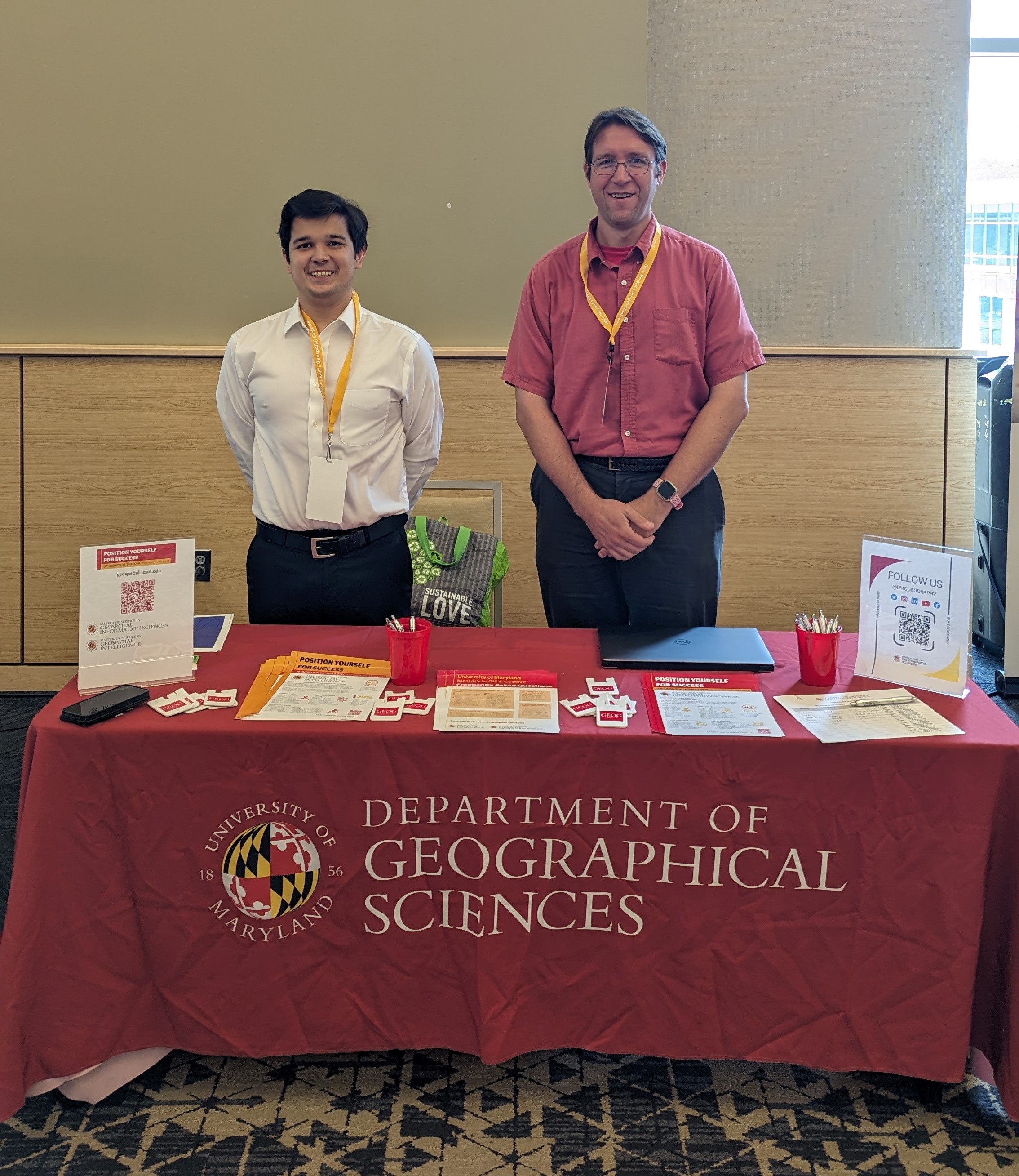
Alongside Patrick Musick, a recent graduate of the MS GIS Program (2023), Resop promoted the department's two flagship programs: the Master of Science in Geographic Information Systems (MS GIS) and the Master of Science in Geospatial Intelligence (MS GEOINT). Both programs have gained acclaim for their comprehensive curriculum and hands-on approach, equipping students with the skills and knowledge required to excel in the dynamic world of geospatial technology.
In addition to promoting the M.S. programs, Resop presented his latest research at the conference. His presentation focused on the innovative use of drone laser scanning technology for monitoring channel morphology change after stream restoration efforts. This research not only contributes to the growing body of knowledge in the field but also highlights the practical applications of GIS in environmental monitoring and restoration initiatives.
The TUgis conference is a collaborative effort between the Maryland State Geographic Information Committee, Maryland Department of Information Technology and Towson University. It is supervised by the TUgis Advisory Committee, which is committed to fostering and empowering the GIS community in the Mid-Atlantic region.
Image: Patrick Musick and Jonathon Resop sets up the MS programs table at TUGis. Courtesy of Resop