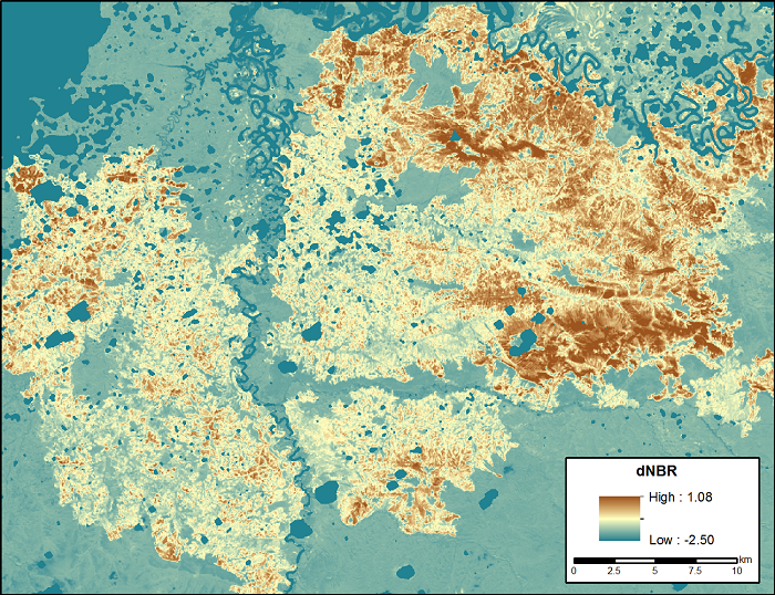
A new data product created by GEOG associate professor Tatiana Loboda, post-doc associates Dong Chen, Joanne Hall and PhD candidate Jiaying He has been released by the Oak Ridge National Laboratory Distributed Active Archive Center (ORNL DAAC). The content of the product is Landsat-based dNBR (a common measure of burn severity) across Alaska and most of Canada over 30 years. The DOI of the dataset is https://doi.org/10.3334/ORNLDAAC/1564.
Dataset Description
This dataset contains differenced Normalized Burned Ratio (dNBR) at 30-m resolution calculated for burn scars from fires that occurred within the Arctic Boreal and Vulnerability Experiment (ABoVE) Project domain in Alaska and Canada during 1985-2015. The fire perimeters were obtained from the Alaskan Interagency Coordination Center (AICC) and the Natural Resources Canada (NRC) fire occurrence datasets. Only burns with an area larger than 200-ha were included. The dNBR for each burn scar at 30-m pixel resolution was derived from pre- and post-burn Landsat 5, 7, and 8 scenes within a 5-km buffered area surrounding each burn scar using Landsat LEDAPS surface reflection image pairs.


