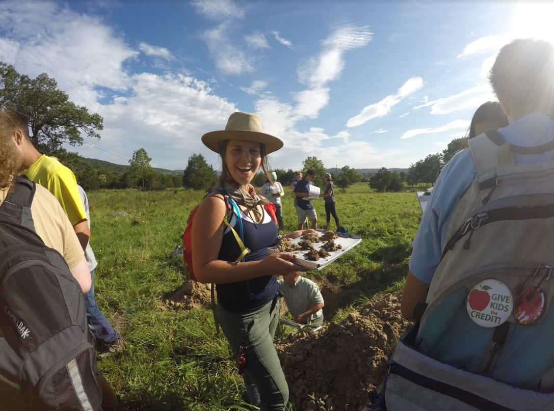
In August 2017, 17 students and 3 Teaching Assistants traveled to the Smoke Hole in the Monagahela Forest in West Virginia to study a wide array of geographical topics and learn various field methods under the excellent guidance of Professor Ralph Dubayah. Each day of the 10-day field course started with a lecture concerning one of the studied topics, after which a trip was made to specific field sites to demonstrate the discussed topics in a practical way.
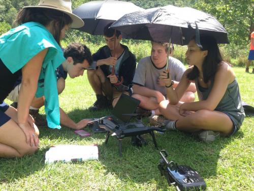
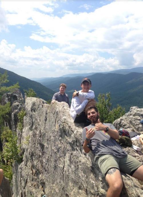
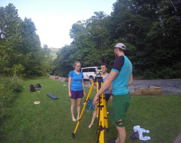
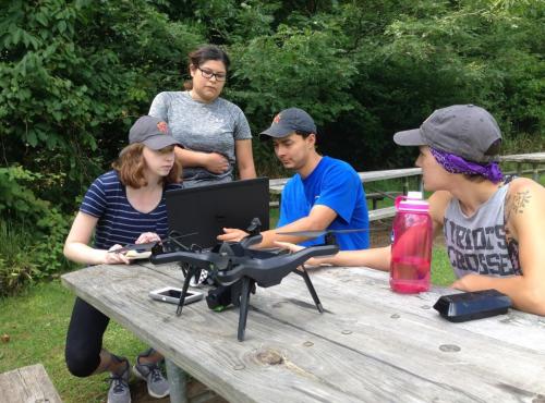
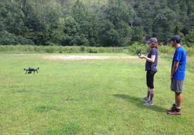
The students started the field course by learning about navigation and surveying techniques, to ensure successful navigation and layout of vegetation plots as well as sampling transects for hydrology assessments. With their new skills, compasses and GPSes the entire group went on a long hike, following the ridges of the mountain range surrounding the campground and finding the way back to the campground in a heavy rain storm that caught up with us when descending the mountain. On a nice dry day, the group went down to a flat grass field along the river surrounding the campground, to take off on the aerial mapping exercises. The flying of drones equipped with GoPro cameras was mastered at camp before they were taken into the field and used to collect aerial photographs of the canyon with different degrees of overlap and flying altitude. The students learned that such photographs can be processed on the computer and used to create a three dimensional model of the photographed region.
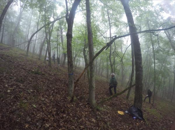
 Vegetation sampling and biodiversity assessments were next on the program. The students learned how to lay out different types of field plots and how to measure and identify key characteristics of trees in order to estimate biomass and biodiversity. They also deployed acoustic sensors in the forest that were left for five days of continuous data collection, allowing the students to examine the use of acoustic niches and with that the avian diversity in the forest during the fall semester.
  Hydrological assessments, stream water quality and benthic sampling were studied next.
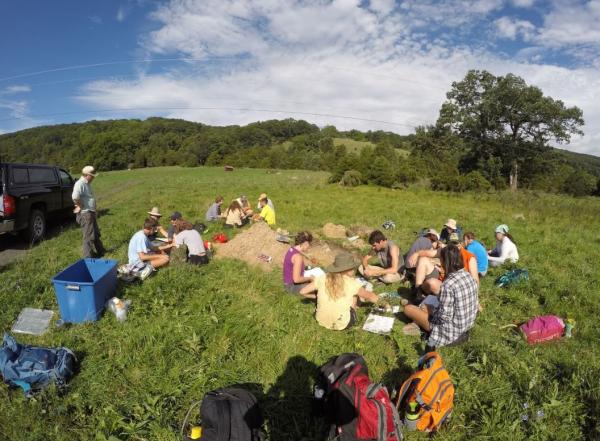
Water samples were taken in different rivers and their quality was assessed in the outdoor lab. The field course was concluded with a day of soil analysis under guidance of a real soil scientist from the USDA Natural Resources Conservation Services who explained all about the development of soils in different areas of the landscape.
Most days of the field work ended with a dip in the river surrounding the campground providing a much-desired moment to cool down and relax while an amazing dinner was in preparation by small cooking groups. The students rated their dinners with a 10/10 claiming that “this food is better than what I eat at home!” exceeding all expectations of camping food. Evenings were closed off with gatherings around the camp fire and the occasional music of small drums and the hurdy gurdy.
Do you wish to learn about field methods and how the different aspects of geography come together and interact? Then keep an eye out for the GEOG 418 “Field and Laboratory Techniques in Environmental Science” in summer/fall 2018. 