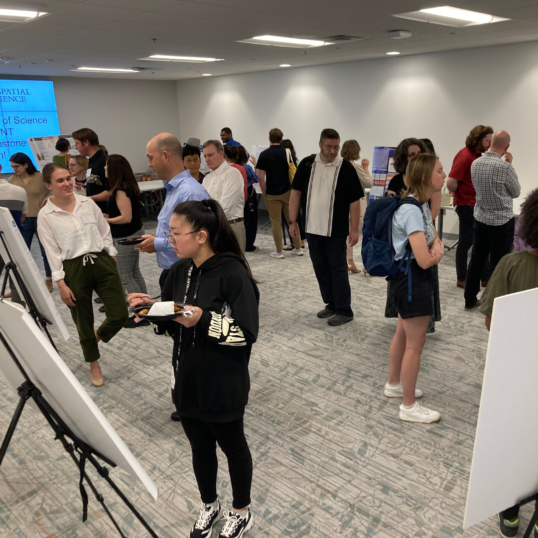
The MS GIS and GEOINT programs host the MS Capstone Symposium biannually, where students present their capstone projects, marking the culmination of their graduate studies. This event provides a platform for students to demonstrate their skills and knowledge through independent research or design projects.
In this year's symposium, held on May 14 and 16, students demonstrated an array of projects that leveraged GIS, spatial analysis, modeling, remote sensing, web app development and geospatial intelligence. Both online lightning talks and an in-person poster session provided platforms for the cohort to showcase their work to an unprecedented audience.
View recordings of the online lightning talks.
Student Presenters
| Name | Captsone Title |
|---|---|
| Fernanda Argueta | Deploying a Dynamic Dashboard for MCD64A1 C6.1 Burned Area Estimates Across Distinct Spatial Scales |
| Dale Bowen | Comparative Analysis of Machine Learning Algorithms for Predicting Future Saltwater Intrusion Impacts on Farmland using Land Cover Change Models in Talbot County, MD |
| Brandon Bush | Assessing the Water Contamination Potential of Drilled Wells in the Rural Villages of Indonesia: A Case Study of the Clean Water Program |
| Janna Chapman | Changes in the Determinants of Travel Demand for the Washington DC Metrorail System After COVID-19: Influencing Sustainable Urban Development |
| Rachel Dieman | Identifying Bee Habitat Changes and Honey Production Disruptions in Donetsk, Ukraine as a Result of the Russian Invasion |
| Travis Harrison | Unveiling the Battle-Scarred Fields: Leveraging Python, Remote Sensing, and Machine Learning to Assess Agricultural Impact in Post-Invasion Ukraine |
| Adam Kendall | Global Flood Monitoring Application: Rapid Assessment with GEE, DSWE, and WNDWI of the 2023 Somalia Flooding |
| Carlee King | Combatting Chinese Expansionism: How the US Military Can Help Deter the Threat in the Pacific |
| Polina Kuzmina | Maternal Mortality in Georgia: A Study on Social and Spatial Determinants |
| Christian Moyer | Let Me Be, Let Me Pee: A New Safe Web Application for the Transgender Community to Locate Bathrooms" |
| Gabriel Noble |
Assessing Riparian Buffer Zones and their Impact on Nutrient Runoff in the Eastern Shore of Maryland |
| Sarah Rosecrans | Bike, Commute, Connect: Mapping DMV’s Bike Network |
| Angela Scafidi | Geospatial Data for Local Climate Planning: Tree Planting in Howard County, MD |
| Molly Schreier | From Redlining to High Energy Burden: An Environmental Justice Approach to Surface Urban Heat Islands and Mitigation Efforts in Baltimore |
| Elizabeth Thilmany | Analyzing the Utility-Scale Solar Energy Landscape in Maryland: A Geospatial and Regulatory Assessment |
| Karina Urquhart |
Reducing Sensor Artifacts in Multibeam Backscatter Data Layers for the Purpose of Seafloor Classification |
| Nicholas Weishaar | AGEAS: The ACLED Geo-Event Automated Service |
| Todd Weliver | An Analysis of Baltimore Squeegee Worker Locations and how Poverty and Other Factors Determine Where They Work |
| Kalpatrick Wells | Geospatial Representation of the People’s Republic of China's Overseas Military Basing |
Congratulations to all MS GIS and GEOINT Spring graduates on earning their degrees!
_1.png)
Main photo: Symposium attendees explore student posters.


