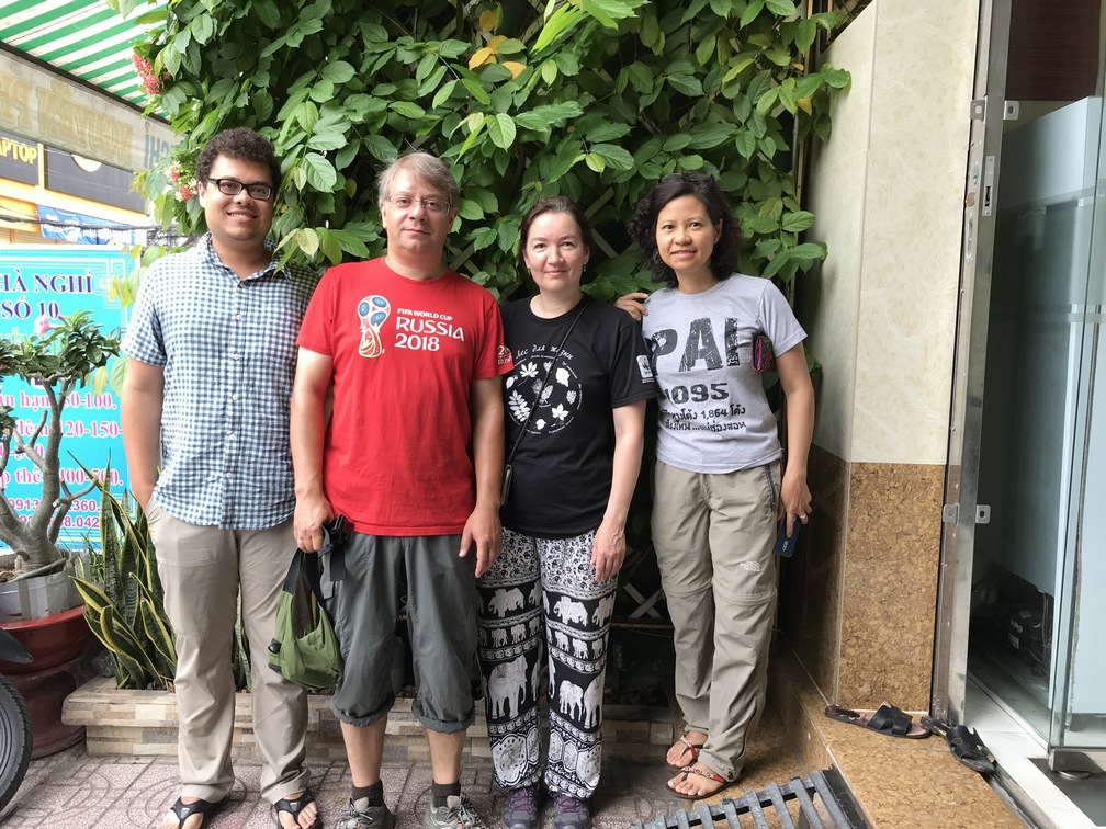
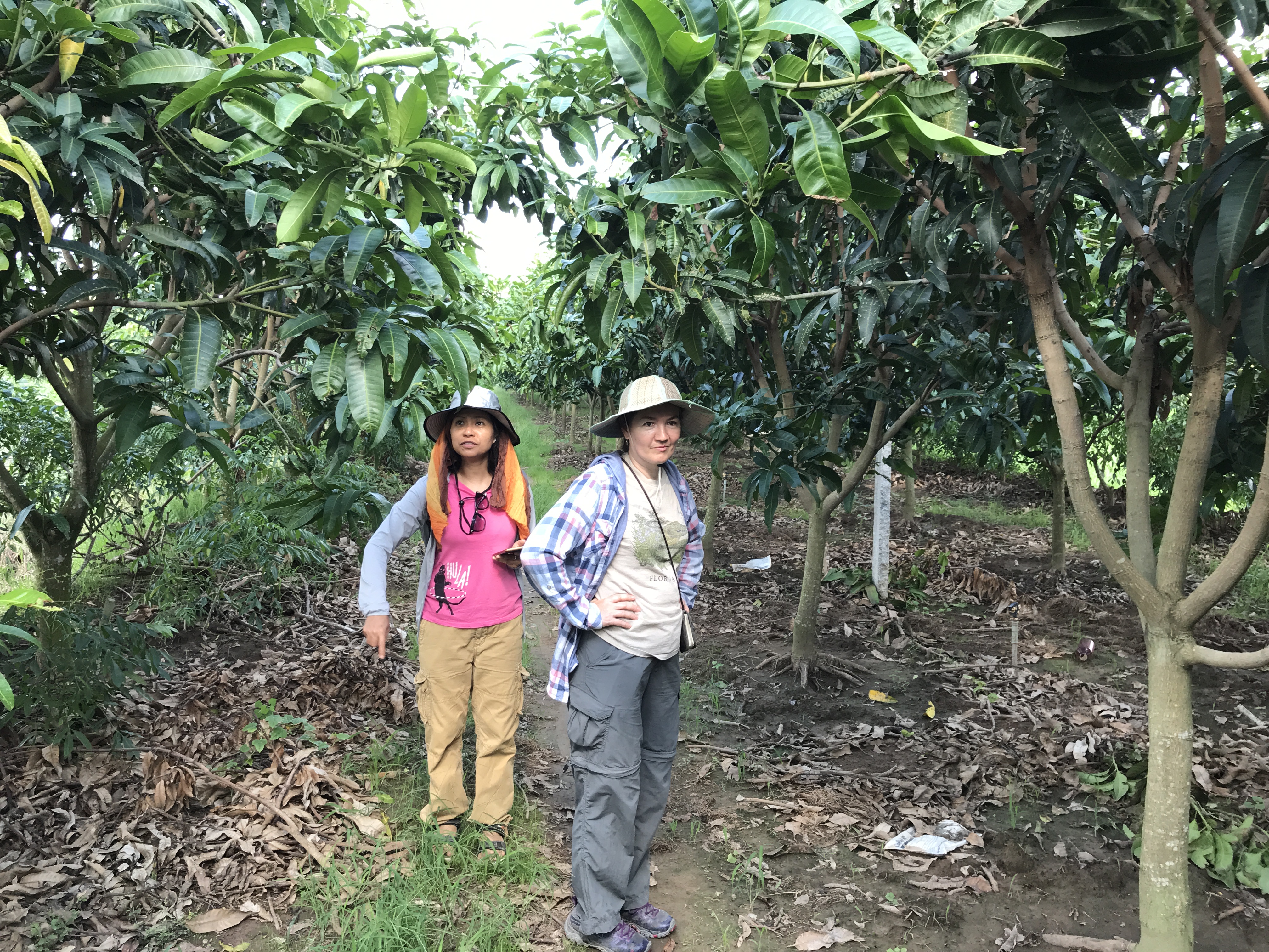
Growing population, infrastructure development, and agriculture commercialization have resulted in land-cover/land-use changes (LCLUC) that have a profound impact on the ethnic minorities, particularly in southern Vietnam. The NASA-funded project “Land-Cover/Land-Use Change in Southern Vietnam Through the Lenses of Conflict, Religion, and Politics, 1980s to Present” is aimed to map the changes and model the future trajectory of LCLUC by incorporating a sociocultural framework in a spatial modeling environment for the Mekong Delta region of southern Vietnam. Assistant Professor Jessica McCarty (Miami University) leads the project team. The UMD team (Peter Potapov, Collaborator) is supporting the project through multi-decadal Landsat-based land cover change mapping. To collect validation data, the UMD, SERVIR-Mekong, and Miami University team conducted field research within two provinces in Southern Vietnam at the end of June, 2019. Specifically, the team collected land cover and vegetation composition and structure information for selected random samples.

Photo (left to right): Keelin Haynes (Miami University), Dr. Peter Potapov and Dr. Svetlana Turubanova (UMD), Nguyen Hanh Quyen (ADPC/SERVIR-Mekong)


