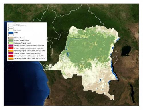
The Department of Geographical Sciences at the University of Maryland (UMD) and the National Aeronautic and Space Administration (NASA) are cross-cutting partners with USAID’s Central Africa Regional Program for the Environment (CARPE, http://carpe.umd.edu). The department’s CARPE activities include satellite forest mapping and monitoring and regional capacity building in satellite data and GIS applications. These activities directly support CARPE’s strategic objective to "Reduce the rate of forest degradation and loss of biodiversity through increased local, national and regional natural resource management capacity.”
Remote sensing is crucial for monitoring the vast and often inaccessible forests of the Congo Basin. Dr. Matthew Hansen and his team at UMD have developed an automated system using Landsat and MODIS satellite data for mapping forest cover and forest loss across the Congo Basin. The results are synoptic regional maps of forest cover that are consistent, repeatable and applicable at multiple scales.


